Location and character
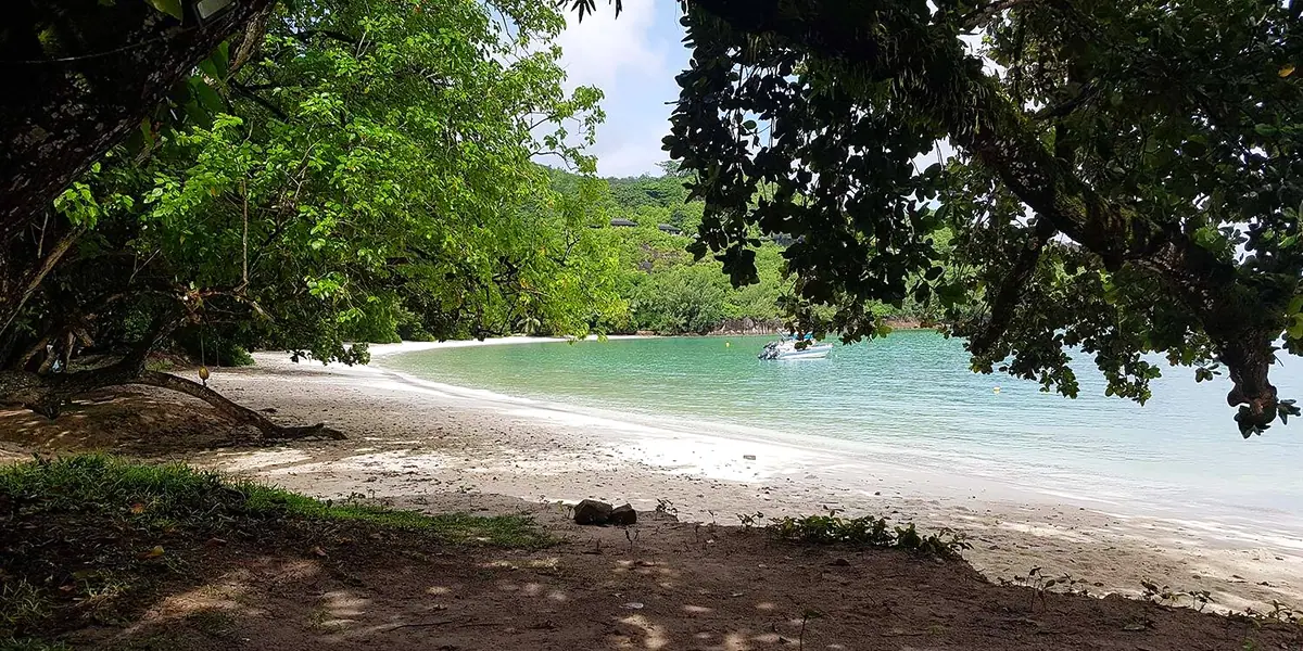
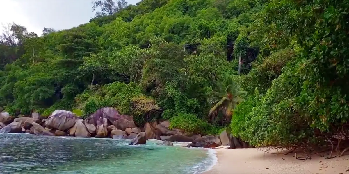
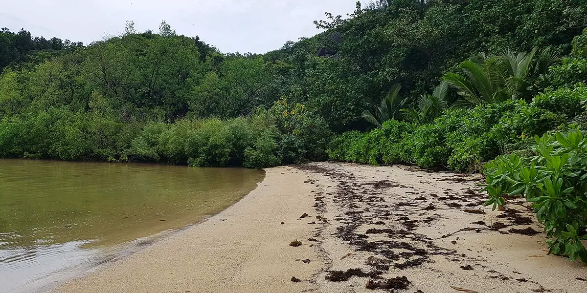
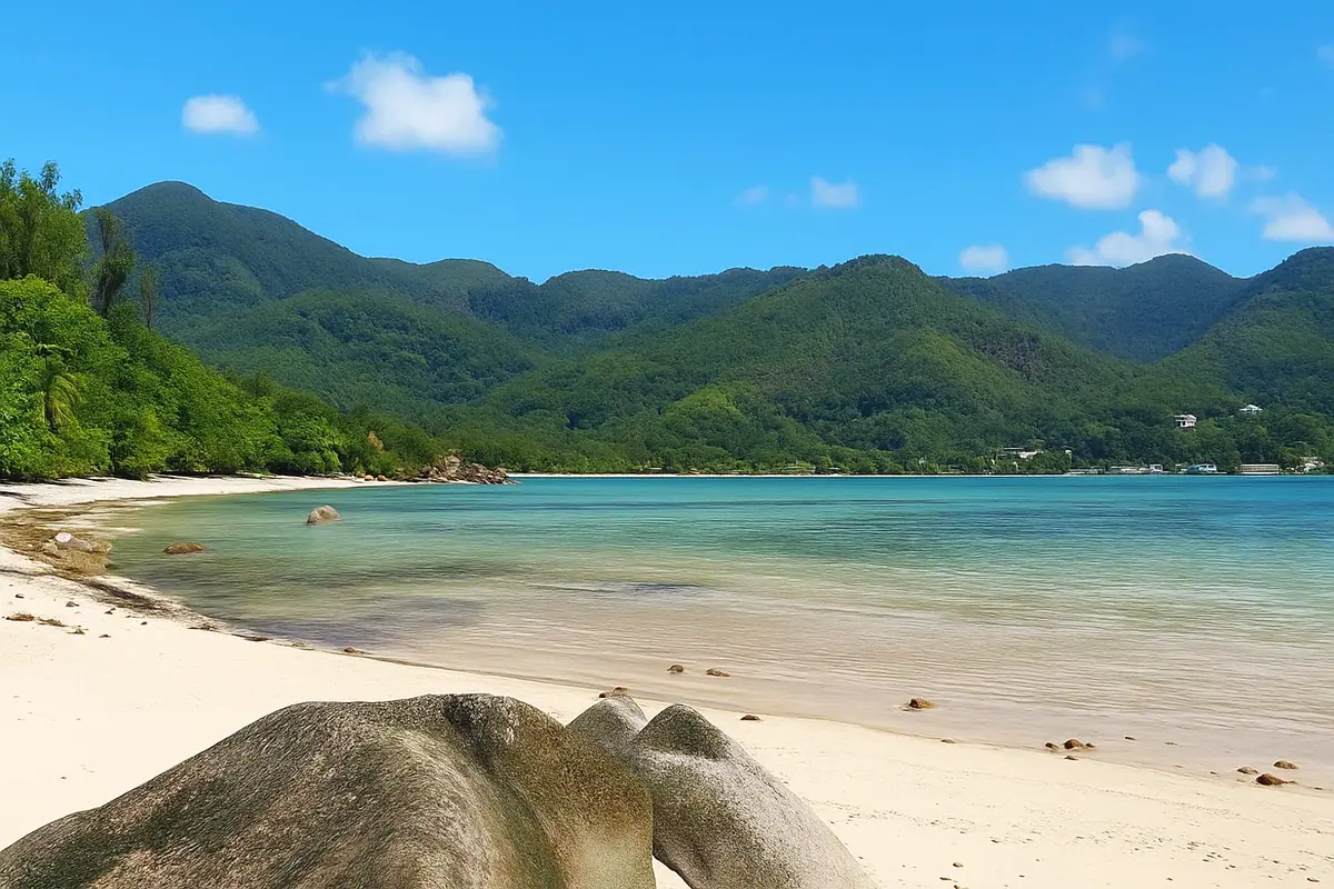
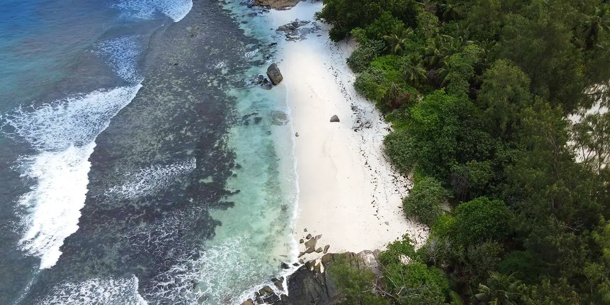
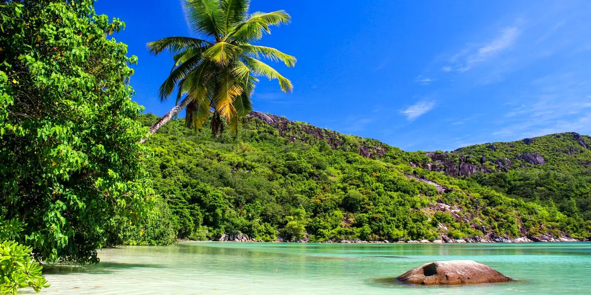
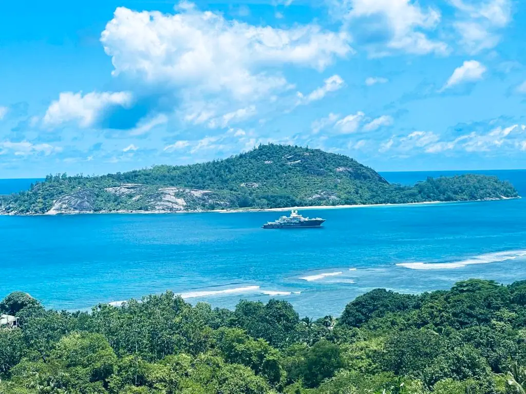
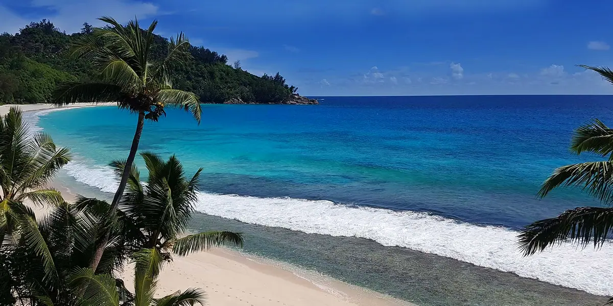
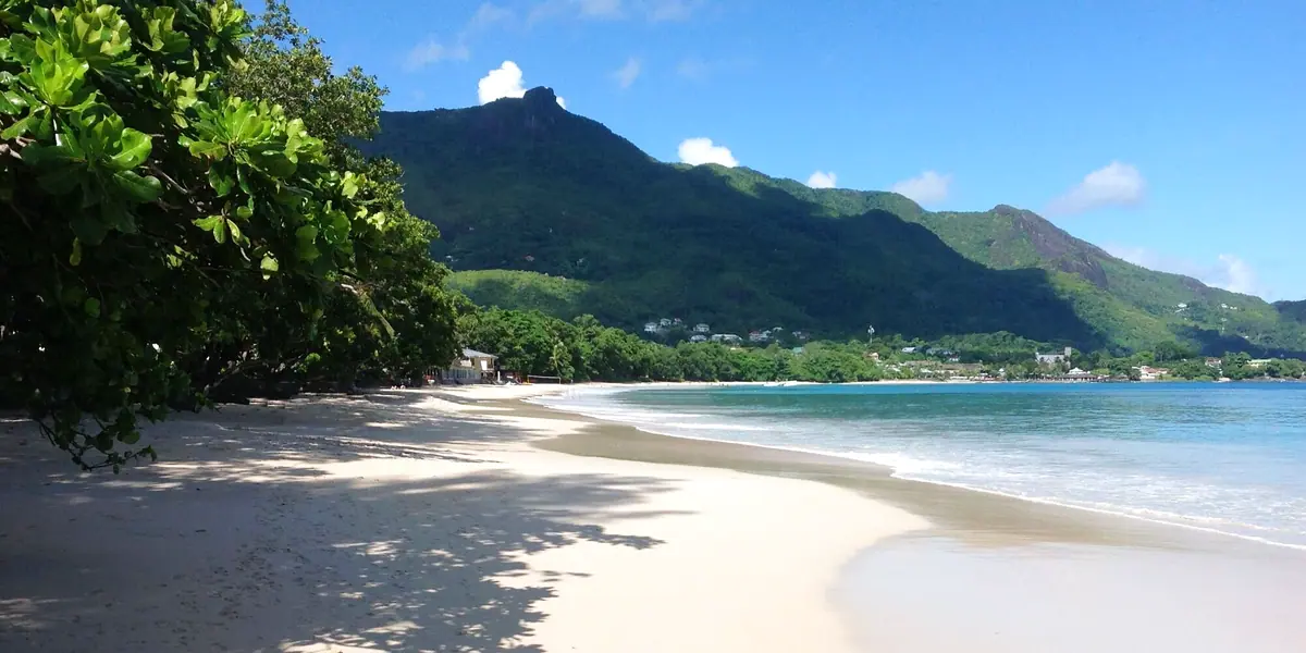
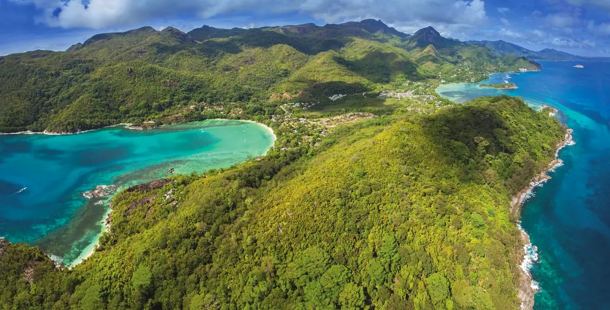
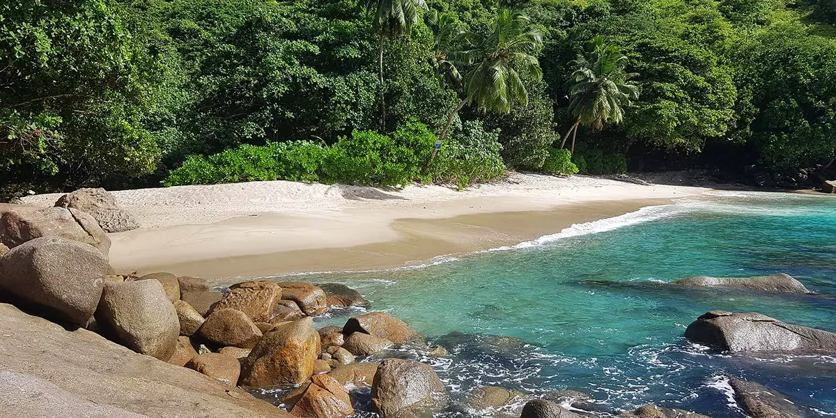
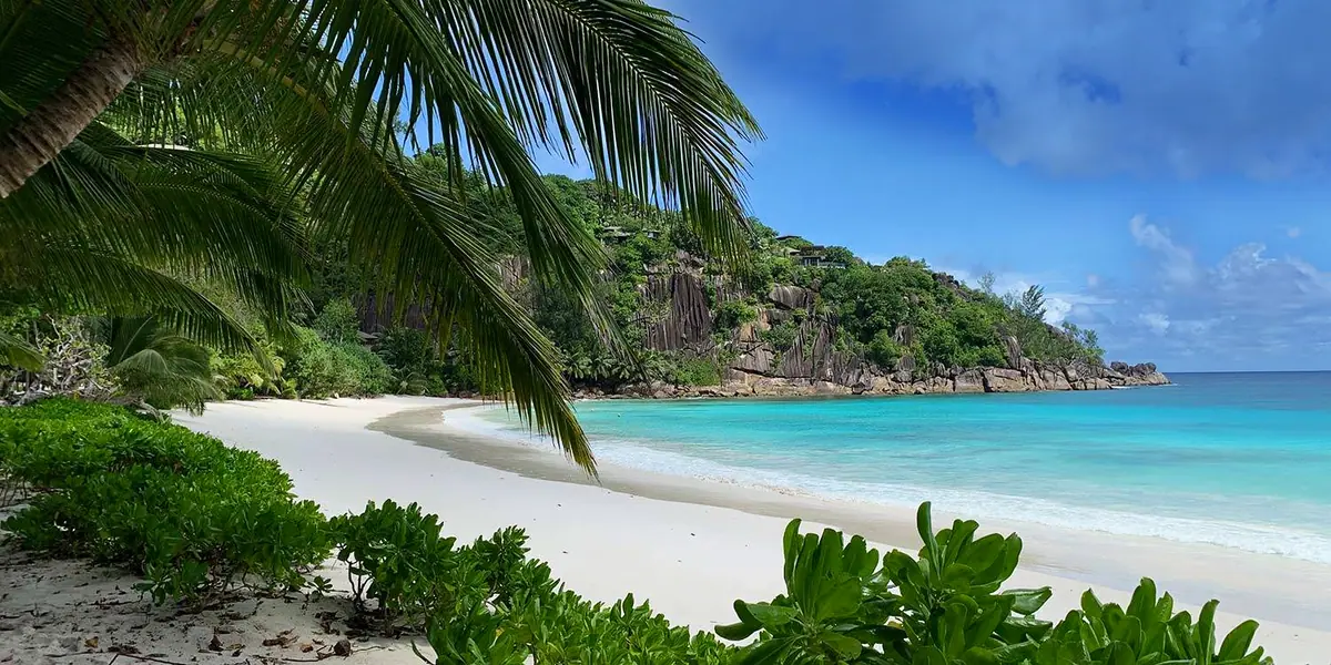
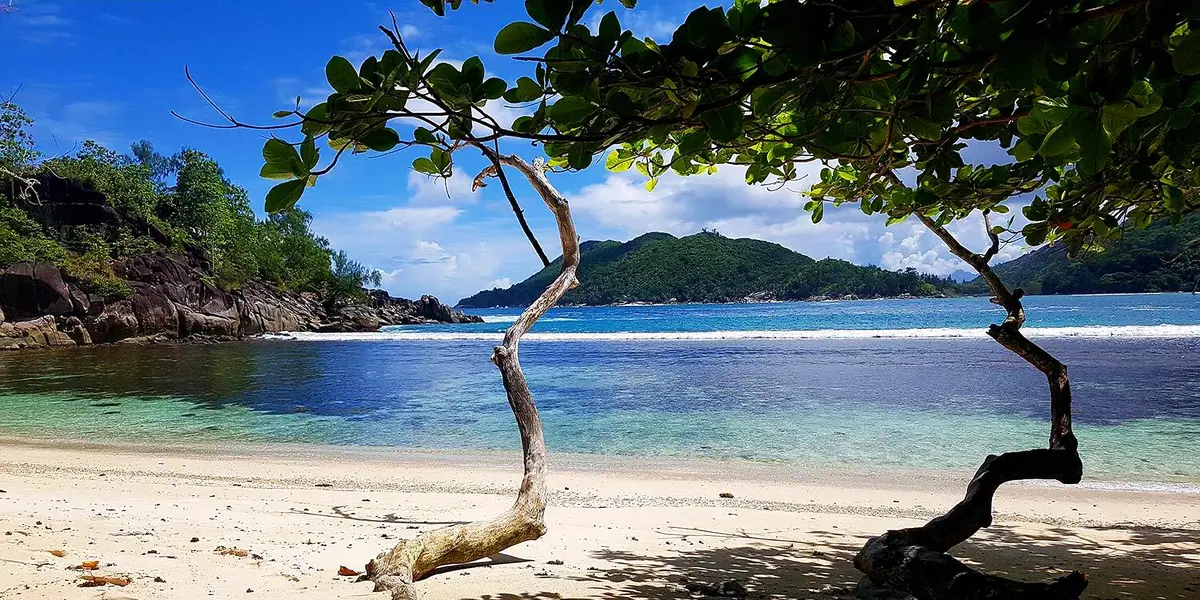
This is a hidden and relatively little-known beach on the west coast of Mahé. Just a stone's throw from Port Launay beach, and right next to Pointe Paul, lies Anse des Anglais, a secluded cove with some spectacular rock formations. For photographers it is an ideal subject, and you will almost certainly have it to yourself.
There is no road access. You can only get there on foot or by boat from the neighbouring Port Launay beach. On foot, it is also only possible at low tide. (Keep this in mind for the way back too!)
The neighbouring beach at Port Launay is part of the Port Launay Marine National Park. It is the only marine protected area in the Seychelles that can be reached both by road and by boat. You can read more about the beach and the surroundings on the Port Launay page.
Getting there and the walk
| Route | Duration | Note |
|---|---|---|
| Car from Victoria | approx. 35 minutes | Roadside parking at the Port Launay bus terminal |
| Bus from Victoria | usually 1 to 1.5 hours, depending on route and traffic | Route 13 via La Misère or Route 14 via Sans Soucis |
| Walking path from Port Launay | approx. 15 minutes if the path is found right away | only at low tide |
By car
From Victoria you cross the mountains to the island's west coast. There are two options.
The first is the Sans Soucis Road. It has many, many bends. At the Rochon Dam Viewpoint (next to the Greek consulate) you can enjoy the view over Victoria. Along the way, Mission Lodge is worth a stop for its view over the west coast. I recommend this road to nature lovers.
The second option is the La Misère Road. It also has a viewpoint, with a view over Eden Island and the Ste Anne Marine Park. La Misère Road is more densely populated than Sans Soucis Road, but the mountain you have to cross is somewhat lower, with fewer sharp bends.
Once you arrive on the west side, follow the West Coast Road to the right, heading north, past the Constance Ephelia resort and on to the "Port Launay Bus Terminal". There is parking along the roadside here.
By bus
Anse des Anglais itself has no bus stop. Travel to Port Launay: Route 13 "Port Launay via La Misère" or Route 14 "Port Launay via Sans Soucis". Other lines also end at Port Launay. The current timetable (valid from June 2026) is on the website of the Seychelles Public Transport Corporation. Check the afternoon return journeys in particular, and plan them around the tides.
On foot from Port Launay
Walk across Port Launay beach to the far end, where you will find a rather faint path with a few misleading dead ends. If you find the way first time, it takes about 15 minutes on foot. Do not expect any waymarking. An offline map on your phone helps. Access to Port Launay beach is public. If you would rather not walk, you can ask about a boat trip from the beach.
Swimming, snorkelling and tides
The seabed is stony, so water shoes are recommended. The cove is better for looking, taking photos and a short dip in calm water than for a long day of swimming. Do not expect any lifeguards. Only go into the water when the sea is calm. You are better off snorkelling at Port Launay beach, where the water is often clear according to recent reports.
Being on the west coast, the cove is usually more sheltered during the south-east trade wind season (roughly May to October). During the north-west monsoon (roughly December to February) there can be more swell on the west coast. You can see the months with calm water in the fact box on this page. In the Marine National Park, the rule is: corals, shells and sea creatures stay in the water.
Facilities and what to bring
There is no road at Anse des Anglais itself and so no facilities: no sunloungers, no permanent shade, no toilets and no snack bar. The northern end of Port Launay beach is better equipped. Meals are available there at the Constance Ephelia resort, but you should enquire in advance about a visit.
Tips and what is nearby
It is best to set off at the start of the morning low tide. That gives you time to take photos in peace and you will not be rushed. If you are coming by bus, decide on your return journey beforehand.
- Port Launay: the starting point, with bus, parking and good snorkelling water.
- Anse L’Amour: a small cove barely half a kilometre from Port Launay, with a view of Port Launay beach and Conception.
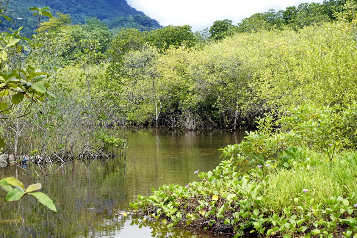
- Port Launay Coastal Wetlands: a Ramsar site since 2004, with all seven mangrove species found in the Seychelles.
- Anse Port Glaud and Baie Ternay: more places on the west coast.
For an overview of the island and more beaches, see the Mahé page.